The invisible city: design in the age of intelligent maps
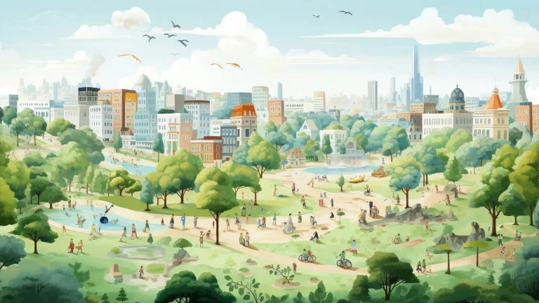
“Today’s intelligent maps don’t just represent spatial relationships, they reveal conditions in the city that were previously hidden in spreadsheets and databases. And it’s not just a new representation of the city that emerges out of this data; its a new hybrid city, part physical texture and part data-driven map.” […]
“For designers, the implications are clear. As maps become richer, more complicated, and less predictable, cartography becomes less a matter of convention and more a matter of invention. Our age of intelligent maps demands intelligent map design. The role of the designer in contemporary mapping cannot be overstated. Aesthetics and readability have real-world implications both in use and in meaning. The choice of what to show and how to show not only impacts appearance, it can reframe arguments. Graphic considerations such as cropping, line weights, and even color or typeface translate into statements on territory and boundary, economy and politics.”


